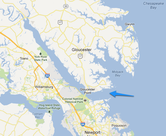
The York River, formed by the confluence of both the Mattaponi and Pamunkey Rivers at West Point, forms the southwestern border of the Middle Peninsula.
The Coleman Bridge is one of the more commonly known access points and takes Route 17, which runs the entire length of the Middle Peninsula, across the York and connects the Tidewater/Hampton Roads area to Mathews, Gloucester and King William counties.
The York River is not especially long but it is wide and one of the more commercialized rivers in eastern Virginia. Industrial enterprise in West Point is combined with a military presence along the stretch.
The water depth in the York River tends to be shallow towards the shoreline with a deep channel that facilitates the commercial traffic. The York is also known for its multiple and varied fishing spots including the York Spit and Poquoson Flats near the mouth and the Fuel Docks and Coleman Bridge further up river.
